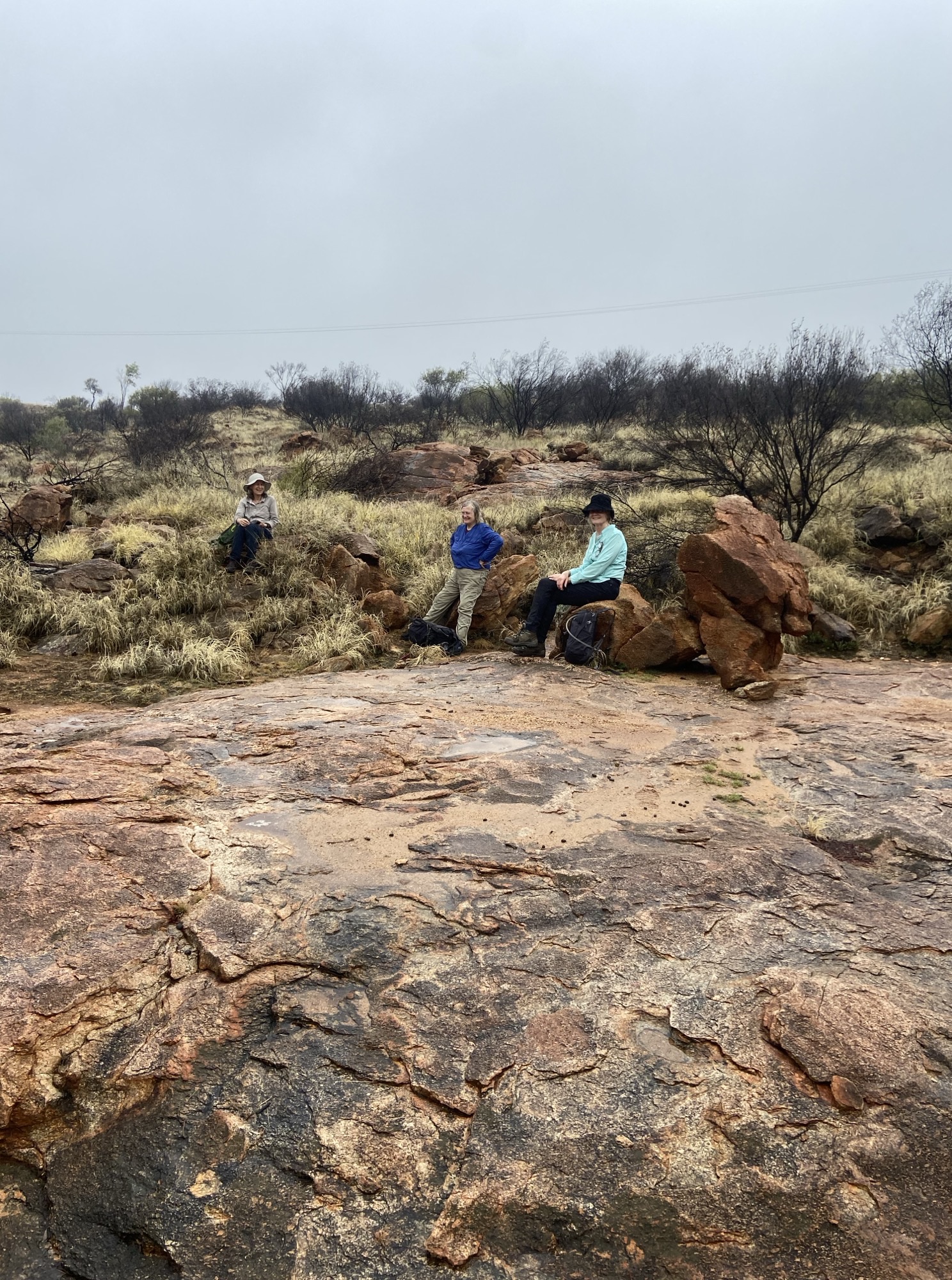
Section 7 Serpentine Gorge to Ellery Creek Bighole, 10th August 2025

6 walkers went along the “old” Section 7 from Serpentine Gorge to Ellery Creek Bighole, an old favourite club walk of just over 13 km alongside the Heavitree range. Another walker enjoyed the Dolomite walk near Ellery Creek and met the group at Ellery.
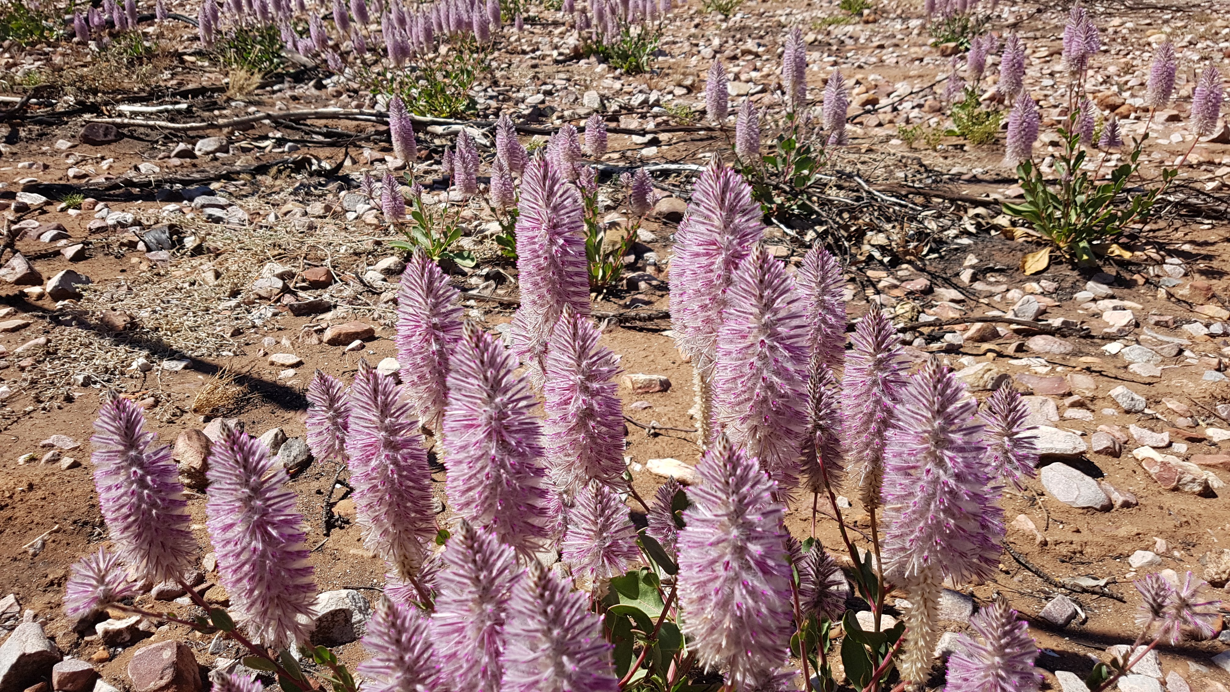
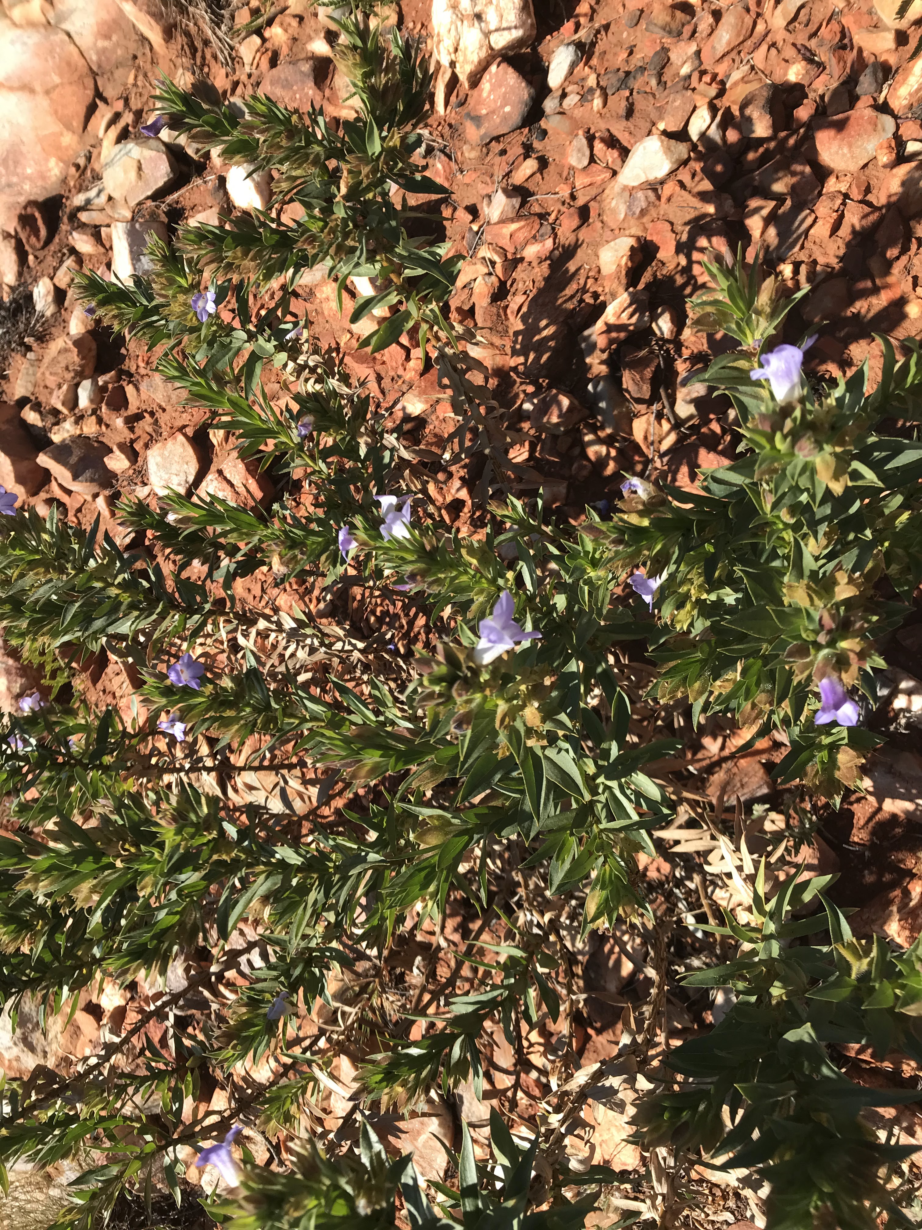
Highlights were the patches of wildflowers including ptilotus and holly grevillea along the trail.
Finke River Gorge ridge walk, 18th May 2025


The drive: 130 km on Larapinta Drive to Hermannsburg, then 21 km on Palm Valley access road. Parked at start of Mparra Walk.
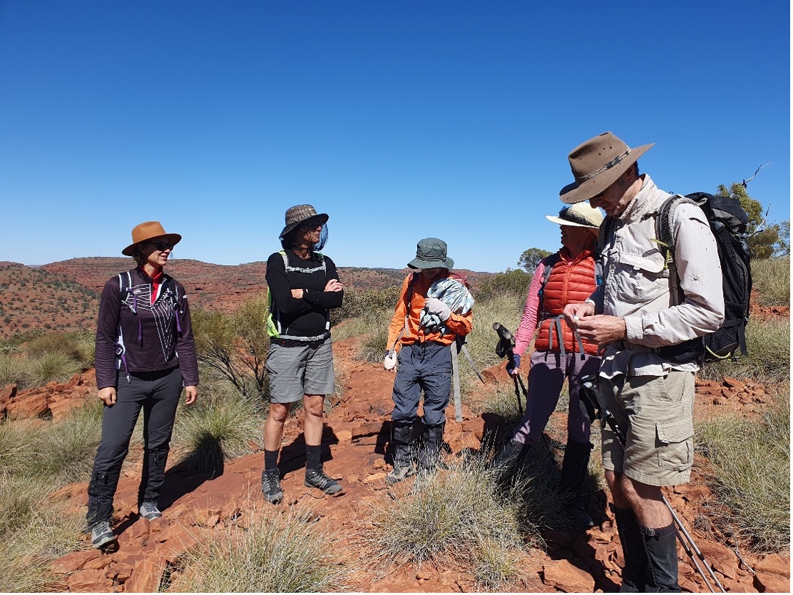
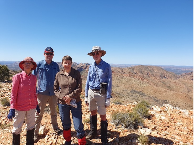
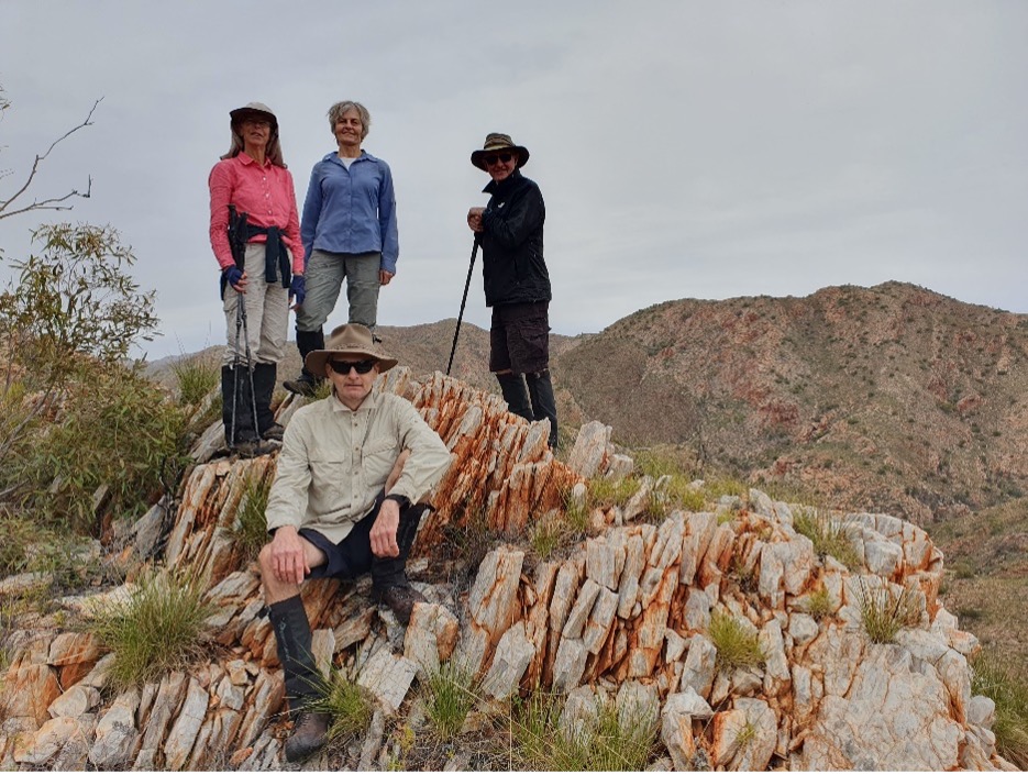
Walkers: Total of 6; Rosalie, Sarah, Graeme, Katrin, Ken and Helen.
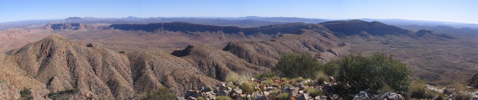
The walk: started on Mparra Walk to the lookout, then off-track up creek immediately east then climb to the top of the range. From there walked south along the ridge to GR 721 E 331 N, on a bluff overlooking the head of Little Palm Creek. After lunch returned along the same route, with a deviation at the repeater station to take in the panorama of the amphiteatre. Total distance about 15 km, duration 6 hours, grade 6.
Weather: cool very windy day, maximum 18.
Incidents: none. We came across a bogged caravan blocking the exit track. Five other vehicles were delayed either entering or exiting Palm Valley.
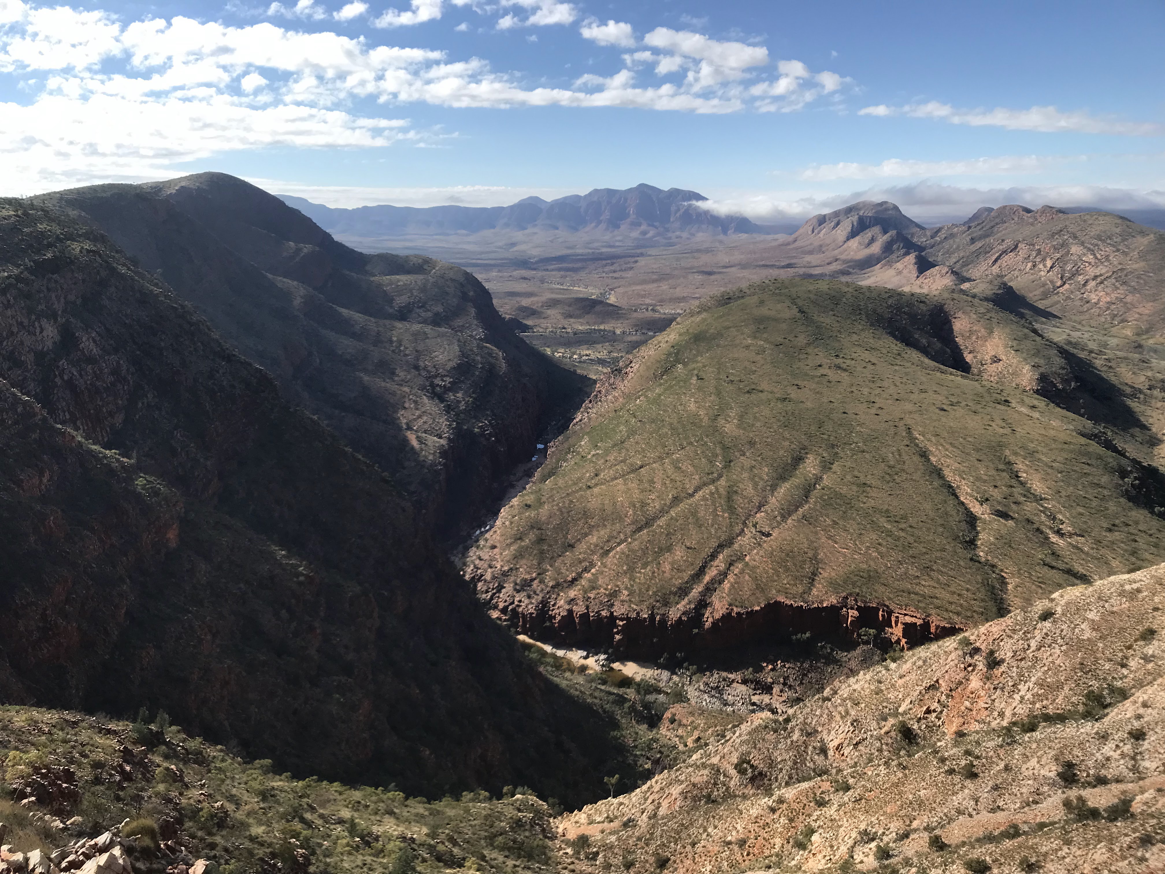
Highlights: magnificent views across Palm Valley, Little Palm Creek and the Finke Gorge.
Eastern MacDonnell Range circuit walk, 4th May 2025
The drive: 55 km east of Alice Springs on Ross Highway to GR 241, 817, where vehicle left.
Walkers: party of 5 including Rosalie, Nick, Graeme, Ken and Helen.
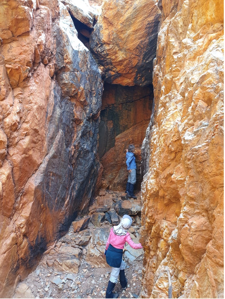
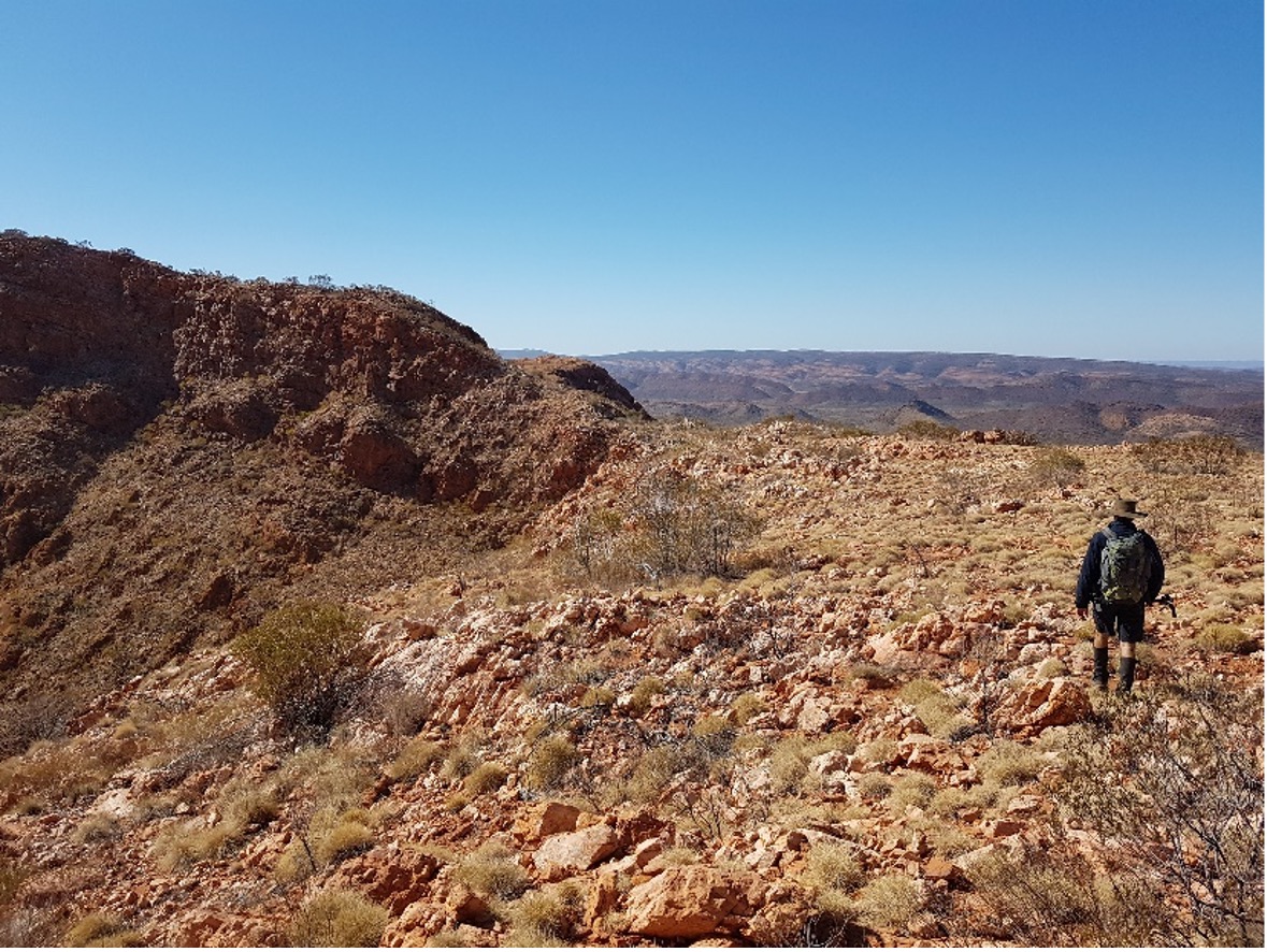
The walk: initially north across valley to foot of gorge descending on the south side of the range at GR 231 831, known as Coosjes Elbow. Ascended very steep ridge immediately east of gorge and then walked 2 km east along the crest of the range, before entering and descending another gorge at GR 226 850. After descending this gorge, then walked out to the car 4 km south down valley. Total walk time 6 hours 30 minutes, total distance about 10 km.


Weather: perfect conditions, with a fine day with light southeasterly wind, maximum temperature 27.
Grade: 5, all off-trail.
Incidents: nil.
Highlights: Two members of the party climbed Coosjes Gorge to visit the plaque commemorating former club member Coosje Freeman. Spectacular views of East Macs from ridge crest, challenging descent of second gorge with nice display of Cliff Daisy (Cremnothamnos thomsonii) and Rock Isotoma (Isotoma axillaris) in second gorge.

Woodland Trail to Rocky Gap with option to Bond Gap 30th March 2025
Nine people started from the Woodland trail entry on a misty morning. Not much water at Rocky Gap but some further along.
Five returned along the Woodland trail with light rain, while the other four continued on the Bond Gap, then along Larapinta Trail to return to Simpson’s Gap..


A beautiful moist day, sorry to see so much buffel but it is pleasing that it is now declared a weed with opportunities for control.
Ormiston Pound walk 3rd November 2024
The drive: 130 km on Larapinta Drive then Namatjira Drive to Ormiston Gorge carpark.
Walkers: Total of 8, Ken, Helen, Craig, Rosalie, Nick, Bea, Sally, and a new members, Maz.
The walk: Ormiston Pound circuit walk anticlockwise, with a brief swim in Ormiston Creek at the halfway point, and a longer swim in Ormiston waterhole at the end. Total distance about 8 km, duration 3 hours, grade 3.
Weather: very hot morning, maximum 41.
Incidents: none
Highlights: swimming in Ormiston Creek on a hot day.

Ellery Creek circuit walk and swim, Sunday 20 October 2024
The drive: 95 km on Larapinta then Namatjira Drives to Ellery Creek Rockhole.
Walkers: Total of 4, Ken, Helen, Rosalie and Craig.
The walk: 4.8 km east on the old Larapinta Trail section 6 to the junction with the new trail, then 3.3 km west along the Alice Valley to the new shelter north of Ellery Rockhole. Final 200 m swim across the waterhole to the carpark. Total distance about 8 km, duration 3 hours, grade 3.
Weather: fine hot morning, maximum 35
Incidents:
- Water leaking into backpacks during swim across Ellery Big hole. High grade dry sacks are needed because of distance across the waterhole. Floatation devices would be another alternative
- Stumble on gravelly slope coming off the ridge, with abrasions needing first aid
Highlights: mass flowering of Ptilotus in valley south of range, panoramic views from top of saddle in range, refreshing swim back to start.
Redbank Creek granite pools walk: 15th September 2024
The drive: 160 km west of Alice Springs on Larapinta then Namatjira Drives to Redbank Gorge turnoff, then 5km along access road to carpark.
Walkers: Graeme, Craig, Helen and Ken

The walk: Initially along Larapinta Trail to junction of sections 11 and 12, then ascent along section 12 to saddle on the ridge, 2 km from start. From this point, left trail and headed west along ridge 1 km, then steep descent north to the northern end of Redbank Gorge. After visiting the entrance of the gorge, then proceeded north across country 1 km to reach the pools in Redbank Creek located in a granite outcrop at GR 53K 246822 E 7393090 N. After lunch, returned by same route. Total distance 10 km, duration 4 and half hours, grade 4 on track, 5 off track.
Weather: perfect clear day, strong cool SE wind, maximum 25 degrees.
Incidents: nil
Highlights: spectacular views from ridge, visit to impressive entrance to Redbank Gorge, 3 beautiful pools in granite outcrop setting.
N’Dhala Gorge circuit walk: 1st September 2024
Drive: Ross Highway to resort, then Binn’s Track to N’Dhala.
Total of about 180 km return
Walkers: party of 9, consisting of Katrin, Rosalie, Cella, Neil, Craig, Helen, Ken, and 2 visitors, Pru and Jess.

The walk: started at N’Dhala carpark, up main gorge for about 1.5 km, then steep climb out of gorge to the north to reach a saddle, before descending to the north end of the side gorge. Walked through the side gorge, stopping for a coffee break midway, and then joined the main track to return to the carpark.
Weather initially cool and sunny, later hot with a maximum of 35 degrees.
An off-trail walk, grade 5, 5 km total, duration 3 and a half hours including breaks.
Highlights: Many amazing petroglyphs, particularly in side gorge, trace fossils in stream bed and gastropod fossils on hillside, spectacular scenery in both gorges, interesting scrambling in side gorge.
Incidents: nil
Brinkley Bluff from Birthday Waterhole: 11th August 2024
The drive: 60 km west on Larapinta and Namatjira Drives, then 13 km along high clearance track along Hugh River to Birthday Waterhole.
Walkers: Total of 4, Ken, Helen, Craig and Cella.
The walk 0.9 km along access track to shelter on Larapinta Trail at the junction of sections 4 and 5. Then 8 km east on section 4, initially along river, then a steep climb to the summit of Brinkley Bluff. After lunch on the top, returned by the same route. Total distance 18 km, duration 7 hours 30 mins, grade 4.
Weather: perfect clear day, maximum 24.
Incidents: none
Highlights: magnificent views from summit of Brinkley, challenging climb and descent.
.

Diagonal gorge in Chewings Range trip: 3rd to 5th August 2024 Picnic Day long weekend

The drive: 60 km west on Larapinta then Namatjira Drive to Hugh River, then 22 km along high clearance track to Hugh Gorge carpark.
Walkers: party of 5, consisting of Helen, Ken, Graeme, and Andrea and Laurie, 2 new members.
The walk: From Hugh Gorge carpark, initially along section 5 of Larapinta Trail west 2 km, then across country west along base of Chewings Range, visiting Dingo and White Gum gorges. Then further west to southern outlet of diagonal gorge. Total distance on first day 11.2 km. Camped at pool at foot of gorge. On day 2, walked with day packs NE through gorge to north side of range, then explored side gorge system to the west, and another side gorge to the south, then returned through the main gotge; total distance about 10 km. On day 3, returned east along base of range, visiting Megawall Gorge.
Weather: mixed, with cloud and light rain on the first 2 days, clearing to fine cool day on the last day.
Grade: 6, exploratory.
Incidents: nil.
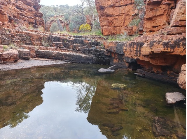
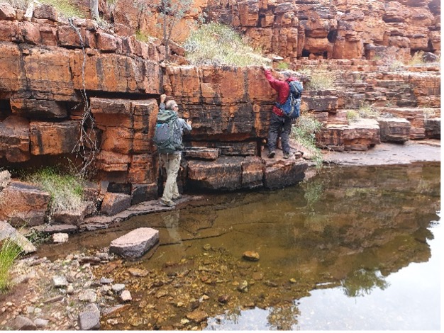
Highlights: visit to 3 beautiful gorges on south side of Chewings Range, all with flowing water. South to north traverse of diagonal gorge, with many large pools of water, then explored a spectacular side gorge system to the west of the main gorge.

28 July 2024: Eastern MacDonnell Range walk

The drive: 55 km east of Alice Springs on Ross Highway; one vehicle left by roadside GR 241 817, 2 others driven to the start of the walk 6 km further east on the road at 283 870.
Walkers: party of 9, including Graeme, Sue, Katrin, Neil, Craig, Cella, Ken, Helen, and Sally, a new member.
The walk: initially west 3 km across valley to foot of gorge descending on the south side of the range at 246 862, 1 km west of the second “elbow”. Ascended gorge and viewed the narrow bridge across the Elbow, then walked 4 km west along the crest of the range, before entering and descending another gorge at 224 850. Walked out to the car 4 km south down valley. Total walk time 7 hours 30 mins, total distance 14.9 km.
Weather: fine cold day with strong southeasterly wind, maximum temperature 18.
Grade: grade 5, all off-trail.
Highlights: 2 magnificent gorges traversed, spectacular views of East Macs from ridge crest.

21 July 2024: Chewings Range: point 1163

The drive: Larapinta then Namatjira Drives to Hugh River, then 14 km on 4WD track to Birthday Waterhole.
Walkers: Neil, Katrin, Ken and Helen
The walk: From Birthday Waterhole, 1 km to junction of Larapinta sections 4 and 5, then 5 km west along section 5 through Spencer Gorge to Windy Saddle. Then ascended south off-track to crest of ridge and traversed west 2 km to point 1163, the highest point on the ridge. After lunch, the return was 3 km traverse of the ridge east, to west rim of Spencer Gorge. Following the rim, a steep descent to a gully running into the south end of Spencer Gorge. Then walked south to a valley leading south-east to Birthday Waterhole. Total distance 13.3 km, total time 7 hrs 25 mins. Grade 6 (exploratory descent).

Weather: perfect, with cold start, clear skies, light winds and maximum of 18.
Highlights: interesting climb through Spencer Gorge, lunch at point 1163 with panoramic views of Chewings Range, new descent route to south end of Spencer Gorge, with great views into the gorge.
Incidents: nil

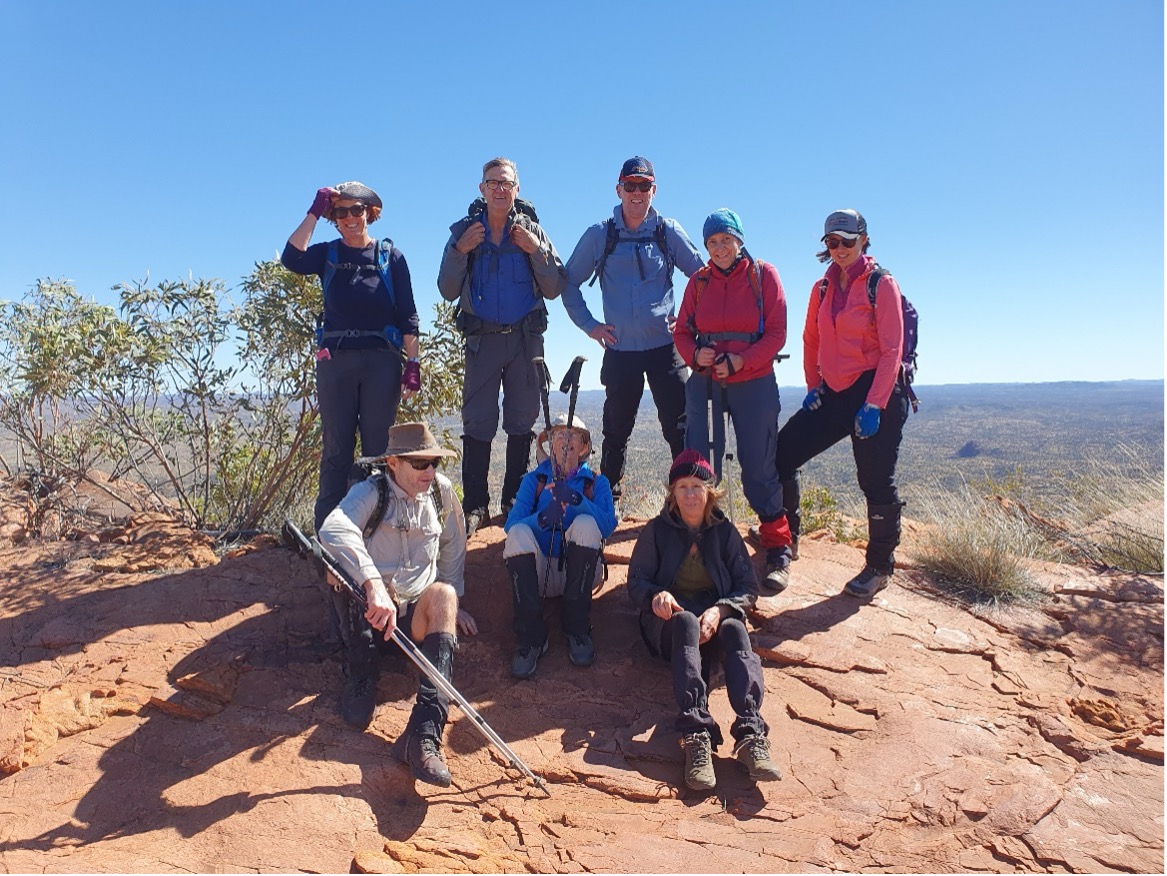
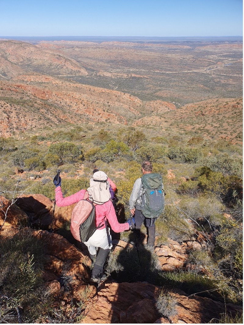
7 July 2024: Bowman’s Gap Skyline walk
Mist over Mt Sonder

Challenging climb to the ridgetop
Stroll along the top

Steep descent over gravelly rocks to waterhole below with fish
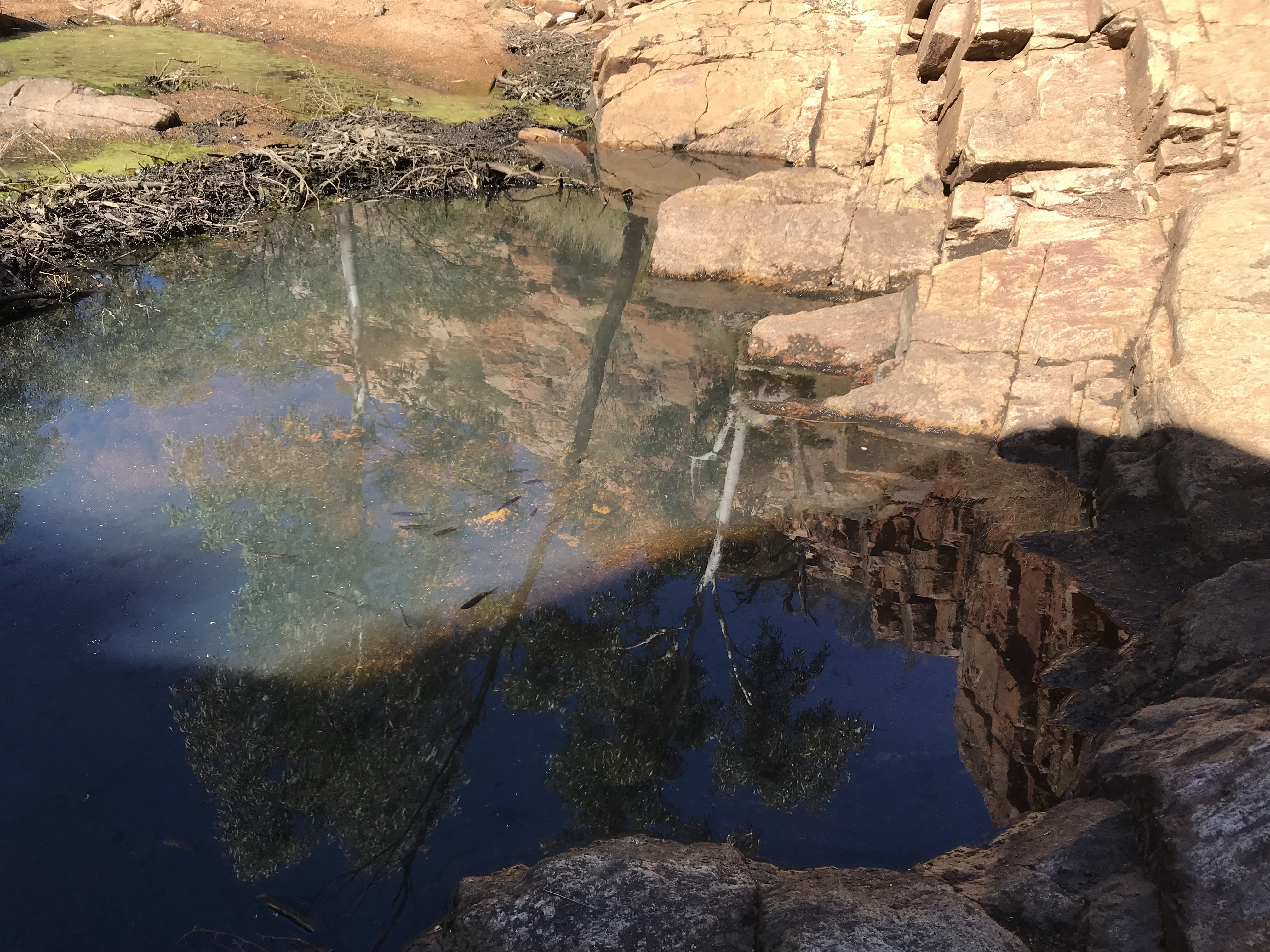
Ormiston Creek waterholes most of its length, lunch en route
Back over the pound then through Ormiston Gorge. What a great walk.
Nick, Graeme, Neil, Rosalie
30 June 2024
Trephina Gorge to John Hayes Rockhole

The drive: 75 km east on Ross Highway to Trephina Gorge campground. One vehicle left at turnoff to John Hayes Rockhole.
Walkers: Total of 9, Ken, Helen, Nick, Rosalie, Sarah W, Graeme, Neil, Cella, and Neil.
The walk:10 km along Ridge walking track, including side trip to Turner’s lookout, and return through the Chain of Ponds, plus a brief side trip up the side gorge. Then 4 km walk out along vehicle access track to John Hayes. Total distance about 14 km, duration 6 hours, grade 4.
Weather: cold cloudy day, threatening rain, but fortunately none, maximum 24.
Incidents: none Highlights: walk in cloud on the ridge top, amazing flower display all the way, lots of water in Chain of Ponds and side gorge, exhibition of cold water swimming in pool in Chain of Ponds by Sarah and Rosalie on mid-winter’s day .
The drive: 80 km east of Alice Springs on Ross Highway to Ross River Resort, then 10 km along station tracks to Goat Camp Creek. Total driving time 90 minutes each way.
Walkers: party of 5, consisting of Craig, Katrin, Sarah, Helen and Ken.
Long weekend 7-9 June 2024: Giles Yard Springs


The drive: 115 km west on Larapinta then Namatjira Drives, then 5 km along 4WD track to Serpentine Chalet site.
Walkers: Total of 4; Ken, Helen, Graeme and Craig.
Weather: perfect days, with early morning frost and maximums 19 to 22.
Incidents: none
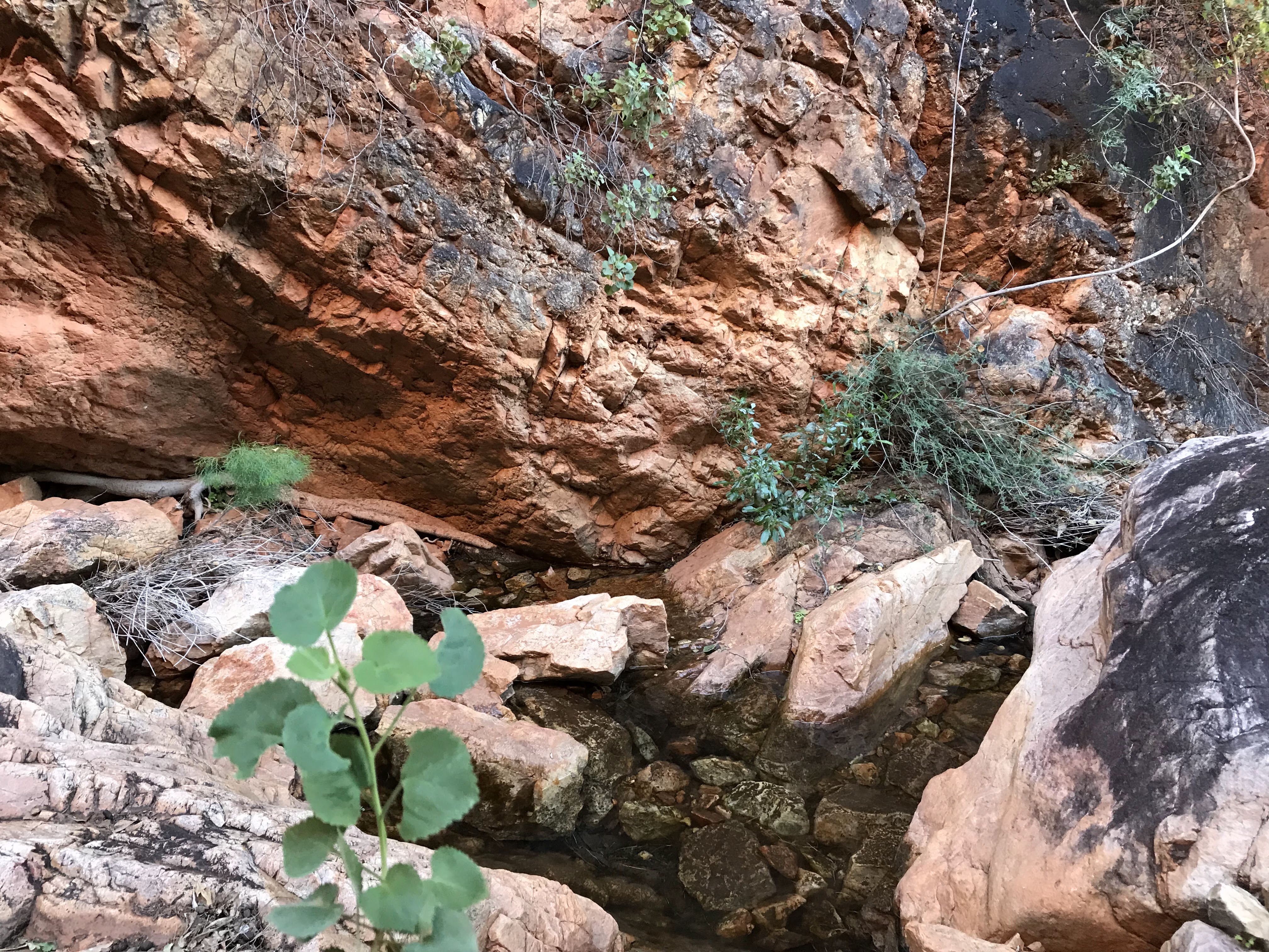
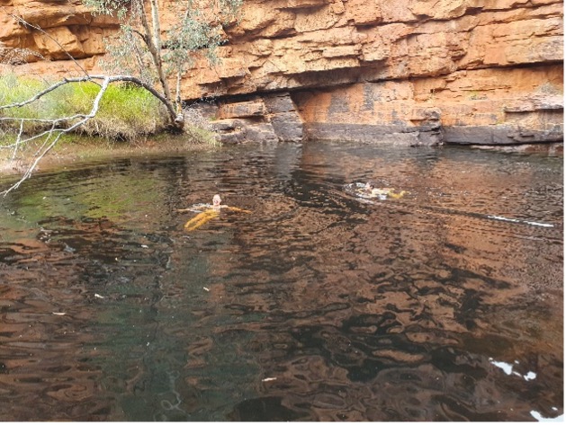
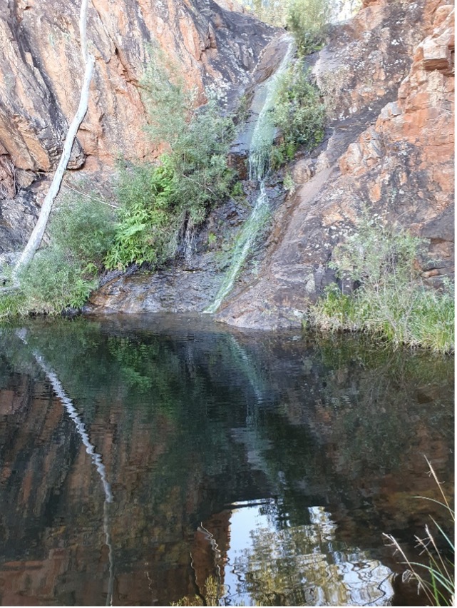
The walk: 1 km along service track to Larapinta Trail junction of sections 8 and 9, then 6 km along Larapinta Trail through Inalarga Pass to break in north side of range at head of Pioneer Creek. Then 9 km due north across the Alice Valley to Giles Yard and watercourse leading to the spring. Camp was established at the spring. On day 2, we explored upstream of the spring, where there was flowing water, a waterfall with deep plunge pool, and thick vegetation. A final climb out of the gorge provided access to a viewpoint overlooking the 50 metre waterfall at the top of the gorge. Returned for lunch, and in the afternoon visited another gorge 1 km west of the springs, with flowing water and a series of falls and pools. On the third day, returned via the same route. Total distance out 16 km, duration 7 hours, grade 5.
Highlights: challenging cross-country walk to springs, rare sight of flowing creeks downstream of gorges, excellent remote campsite, amazing gorges with waterfalls and pools, great view of top of gorge in the Chewings Range.
2 June 2024: James Range in Owen Springs Reserve


The drive: 80 km on Larapinta Drive to Western boundary fence of Owen Springs Reserve, then 20 km south. Two cars were left at this point..
Walkers: 7 in total; club members Ken, Helen, Craig, Cella, Rosalie and Neil; 1 new member, Sarah.
The walk: crossed the valley to the start of a prominent gorge SE of the start point, then ascended the gorge 3 km to the escarpment on the south side of the range. After a break, ascended the ridge parallel with the escarpment and west for 2 km, then swung north on the eastern side of another gorge. After a lunch break, descended into the gorge and reached the valley after 1 km. Then crossed the valley NE to reach the vehicles. Total distance about 10.4 km, duration 6 hours, grade 5.
Weather: cool clear day, maximum 17.
Incidents: none
Highlights: a spectacular visit to 2 pristine gorge systems in the James Range, with panoramic views at the escarpment over the ranges to the south, and a number of impressive indigenous sites along the way.
26 May 2024: Ilparpa Valley Walk

This was a new walk devised and led by the owner of White Gums at Honeymoon Gap. He generously agreed to lead the club on a day walk along the new route from Honeymoon Gap to Heavitree Gap.
The drive: 18 km on Larapinta Drive to Bullen Road and Honeymoon Gap. Two cars were left at Heavitree Gap.
Walkers: 14 in total; club members Ken, Helen, Craig, Cella, Liz, Gill, Sally, Bea, Katrin and Sue; 1 new member, Neil: and non-members Keith, Carol and Graeme.
The walk: the route followed the base of the Heavitree Range on the Ilparpa side east from Honeymoon Gap, over undulating country, finishing at the Little Sisters Camp at Heavitree Gap. Total distance about 14.4 km, duration 6 hours 30 minutes, grade 4.
Weather: cool start, warm clear day, maximum 25.
Incidents: none
Highlights: a new walk into largely untouched country in the Ilparpa valley Excellent views along the valley from a number of hilltop vantage points, lots of flowers to admire.
19th May 2024: Finke River Gorge circuit walk

The drive: 130 km on Larapinta Drive to Hermannsburg, then 21 km on Palm Valley access road.
Parked at start of Mparra Walk.
Walkers: Total of 6; Rosalie, Steve, Craig, Katrin, Ken and Helen.
The walk: started on Mparra Walk to the old ranger station, then walked 5 km along the bed of the Finke River, before turning south up a prominent side gorge. Then ascended steeply up a secondary gorge east to the crest of the ridge overlooking Little Palm Creek. Followed this ridge south then south-west to high plateau to the east of and overlooking Palm Pound. Lunch at top.

Steep descent north along a ridge leading to the saddle on the Mpaara walk. Followed the marked trail in clockwise direction to the start of walk.
Total distance about 12 km, duration 6 hours, grade 5.
Weather: cool windy day, maximum 18.
Incidents: none
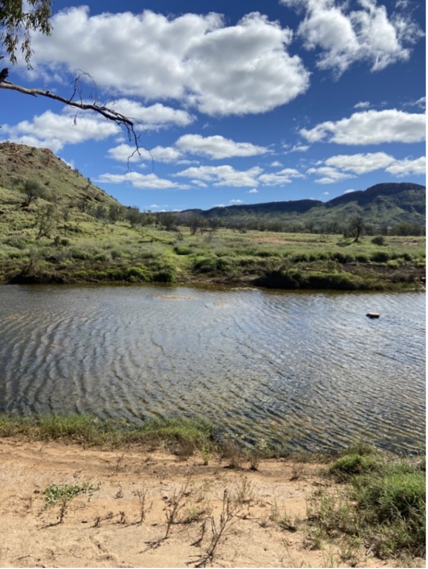
Highlights: lots of water in the Finke River, magnificent views across Palm Valley, Little Palm Creek and the Finke Gorge.

18th May 2024: Euro Ridge walk
The drive: 9 km on Larapinta Drive to locked gate for Wallaby Gap service road.
Walkers: Total of 6, Ken, Helen, Julie, and 3 new members, Sally, Bea, and Kaye.
The walk: 3 km north across the Alice Valley along the service track to the Wallaby Gap campsite, then 1.7 km east along Section 1 of Larapinta Trail to the top of Euro Ridge. Then return along the same route. Total distance about 9.4 km, duration 3 hours, grade 3.
Weather: cool clear afternoon, maximum 22.
Incidents: none
Highlights: magnificent views from top of Euro Ridge.

5 May 2024: Mt Sonder lookout walk

The drive: 130 km west on Larapinta Drive to the Finke River at Glen Helen, then 15 km further west to start of Parks service road. Then 10 km along service road to Davenport Creek, where vehicles were left.
Walkers: party of 7, consisting of Nick, Rosalie, Graeme, Katrin, Helen, Ken, and Craig, a new member.
The walk: From Davenport Creek, north 1.5 km along the service track to the Rocky Bar Gap campsite and the Larapinta Trail Section 11, which was followed east 4.7 km to the hilltop lookout. After a lunchbreak, returned by the same route. Total distance walked 12 km, total time taken 5 hours.
Weather: perfect day, maximum temperature 23.
Grade: 3.
Incidents: nil.
Highlights: an excellent on-track walk to start the winter season. Lots of water in Rocky Bar Gap, amazing green vegetation and flowers, wonderful views of Mt Sonder and beyond from the lookout
Rocky Gap walk: Sat 20th April, 2024 Grade 3
Meeting at the Woodland Trail start point on Darken Drive near Simpson’s Gap, 7 walkers left at 7.45 am to walk to Rocky Gap.
Group comprised Sue, Liz, Deirdre, Chris, Gill and two new walkers Cai and Kay.
Recent track clearing by Rangers, cut buffel grass on the trail along with millions of seeds.
Cool temp at start, got to around 25 degrees on way back.
Returned at midday after approx. 10 km walk
Highlights – water in usually dry small creeks, tadpoles, lots of water at start of Rocky Gap, flowering eremophila and fuchsia, mulga ant nests.